
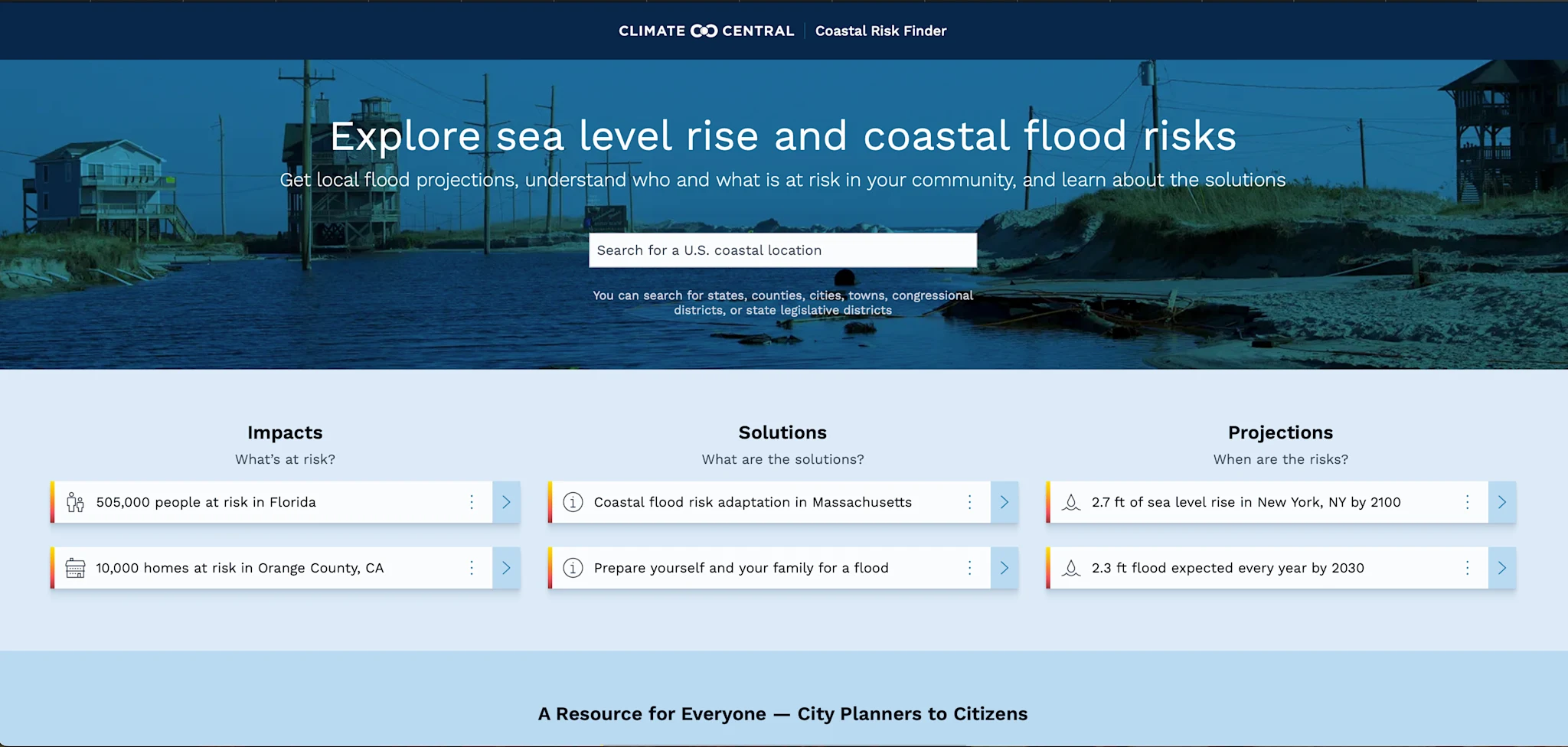
Coastal Risk Finder
Explore local flood projections, impacts, and solutions for your community.

FloodVision combines street-level data collection with cutting-edge climate science to deliver two powerful products: Entry Floor Elevation (EFE) data that pinpoints how high floodwater must rise to enter a building, and photorealistic flood visualizations that make the invisible threat of sea level rise hard to ignore.
Interested in building-level flood elevation data for the contiguous U.S., or in how FloodVision is being used for resilience planning?
![FV: Entry Floor Elevation Model graphic [Updated: April 2026]](https://images.ctfassets.net/cxgxgstp8r5d/4QOYQA8AzxZZY8GUEq88h1/cee8b5a0c9d9d715b7dc47e3860babed/Entry_Floor_Elevation_Model.png?w=3840&q=85&fm=webp)
FloodVision: Making climate change visible through the power of photo-realistic images.
As the FloodVision vehicle travels coastal streets, it collects the data used to determine the Entry Floor Elevation (EFE) of homes and structures - measuring the elevation at which floodwater would enter each building along the route. This field-collected data trains Climate Central's national EFE model, which offers coverage across 99.5% of the contiguous United States, giving communities, planners, and insurers a granular picture of structural flood vulnerability.
Unlike FEMA flood zone maps - which show where flooding may occur but not how vulnerable a specific building is - EFE data provides structure-by-structure flood risk at scale, across the contiguous United States.

Our EFE data can be used in many ways, including:
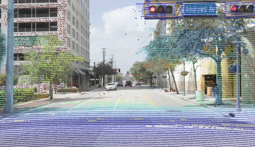
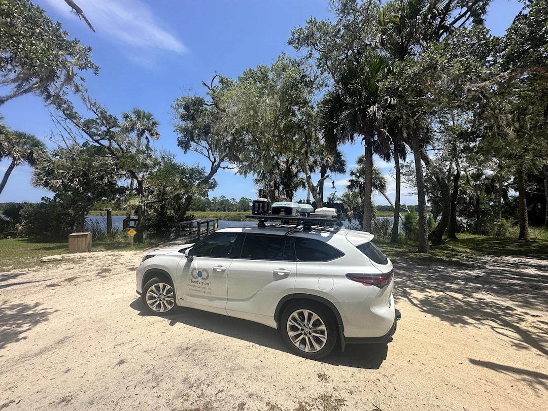
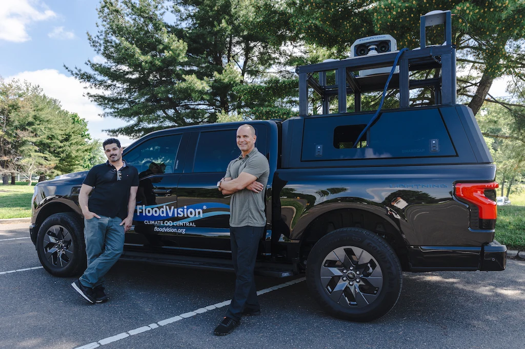
Our FloodVision vehicles are outfitted with four cameras. This allows simultaneous capture of images of structures from both sides of the street, including homes and buildings, and road infrastructure. The stereoscopic images are overlaid with lidar data (Light Detection and Ranging). Lidar sensors emit light pulses that bounce off objects and return to the sensor, which calculates the distance each pulse traveled. The sensor repeats this process millions of times per second to create a real-time map. Then GPS elevation data is added to the 3D image. Under optimal conditions (such as good sky visibility), this produces more precise visualizations.
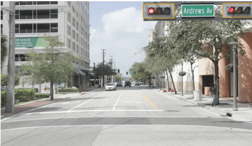
Similar to our Coastal Risk Screening Tool, which allows users to select water levels based on different emissions pathways, timeframes, and flood types, images from FloodVision will be adjustable, with water rising or falling to reflect different scenarios. So for example, any one image frame can show a variety of visualizations, based on various sea level rise or flood level parameters.
Climate Central’s prior sets of photo-realistic flooding visuals have been among our most effective communication tools to show what is at stake. FloodVision now automates and scales their production.
The effectiveness of our visualizations rests on a foundation of scientific precision. FloodVision’s visuals depict authoritative local sea level and flood projections, and also display water level with centimeter-level precision. Neither the data needed to do this at a large scale nor affordable integrated instrumentation to collect such data currently exist. We have thus prototyped and validated our own custom assembly and the software engineering needed to process the data it collects and to generate our target imagery on demand.
The scientists at Climate Central have developed an innovative tool that incorporates stereoscopic cameras (which show dimension) mounted on a vehicle, artificial intelligence, and lidar sensor data to estimate the entry floor elevations of buildings and structures. As we drive the FloodVision vehicle through coastal communities, we can generate photorealistic flood and sea level visualizations with precision.
The photorealistic images generated by FloodVision can be useful for anyone who is looking to help engage community members to prepare for flood risk from storms and rising seas. Climate Central has already used FloodVision when working with emergency preparedness personnel and first responders, planners and adaptation professionals, local officials, media outlets, and community organizations supporting resilience efforts.
FloodVision can enhance risk communication, identify threats to evacuation routes and ensure effective budgetary decision-making for infrastructure. FloodVision can also be an important tool when complemented with data from Climate Central's Risk Finder to support equitable decision making, allowing community members and local leaders to prioritize funding for adaptation and flood-proofing for affordable housing, important cultural sites, and vulnerable populations.
Once the FloodRover collects data from a location, it will take approximately 2 weeks to deliver the images to media outlets or community leaders who are interested in using FloodVision images.
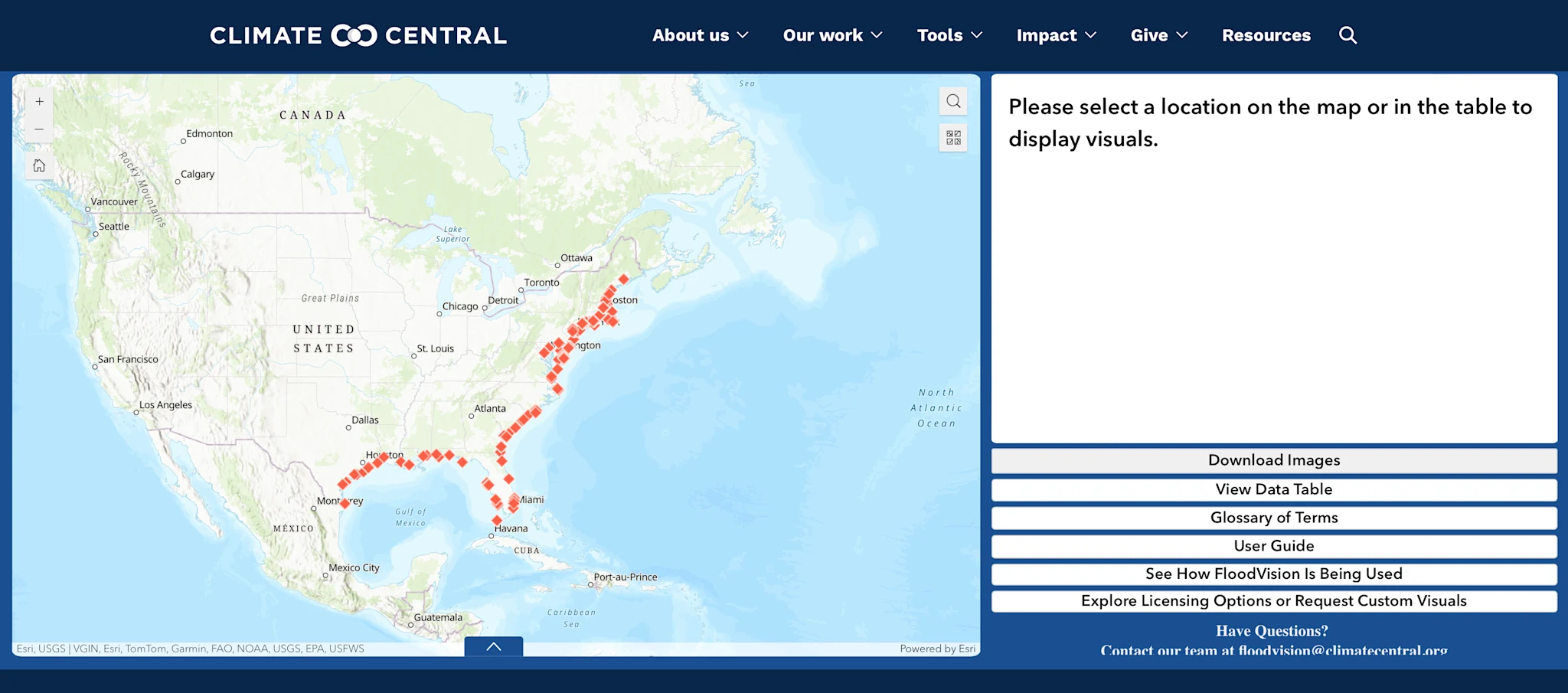
The Climate Central team has already collected data and images in numerous locations in several states, including New York, New Jersey, Pennsylvania, Delaware, Maryland, Florida, South Carolina, Georgia, Louisiana, and Texas. If reporters or meteorologists are interested in visuals in these coastal areas, please contact Peter Girard pgirard@climatecentral.org or Allison Kopicki at akopicki@climatecentral.org.
For an example of reporting using FloodVision, here’s a LINK to VIDEO from First Coast News in Jacksonville, Fla.
Currently, Climate Central is working with a number of states and municipalities and NGOs to license FloodVision services. Government officials or other entities seeking comprehensive licensing options for flood visualizations and elevation analysis across towns, cities, or regions can also contact us here.
FloodVisionⓇ is designed to communicate potential flood risk from storm events and sea level rise to individuals, organizations, and authorities responsible for resilience and adaptation planning and to help emergency managers communicate potential flood risk and plan for storm events.
Click here for more information on best practices for using FloodVision
Entry Floor Elevation (EFE) refers to the elevation at which floodwater would enter the first habitable floor above the foundation of a structure - typically the threshold of the lowest accessible doorway or opening. Climate Central’s FloodVision system collects EFE measurements at scale using sensors as the FloodRover drives coastal roads - data that directly validates our national EFE model. When combined with flood projections from sea level rise and storm surge scenarios, EFE data can identify which and when structures are vulnerable to coastal flooding. This provides a more complete picture of flood risk than elevation certificates or FEMA maps alone, and can be used across a wide range of risk assessment, planning, insurance, and policy applications.
Climate Central's EFE model has been validated using the extensive street-level driving data collected by the FloodVision program. As the FloodRover travels coastal communities, it gathers the ground-truth measurements that have validated our national model. The model achieves 99.5% coverage of the contiguous United States, with the following validated accuracy metrics: Median Bias: <5 cm, Mean Absolute Error (MAE): ~30 cm, Root Mean Squared Error (RMSE): ~40 cm. These figures represent a significant improvement over remotely-sensed or modeled estimates of building entry elevations, and reflect the breadth and quality of the FloodVision driving program.
EFE data is available to municipalities, state agencies, NGOs, insurance providers, financial institutions, and research organizations through Climate Central’s licensing program. To explore availability for your area or to request data for a new location, visit go.climatecentral.org/floodvision or use the "Request Information" form on the FloodVision page (https://go.climatecentral.org/floodvision) to get in touch with our team directly.